Map Chat: 20 Ways to Divide Europe and Other Prejudice Maps
You've likely seen a few of these around, so let's chat about 'em!
Have you ever seen one of these floating around? They’re really quite popular! You can find one about basically any city, state/province, country, or continent that exists. Here are a few I found within a couple minutes:
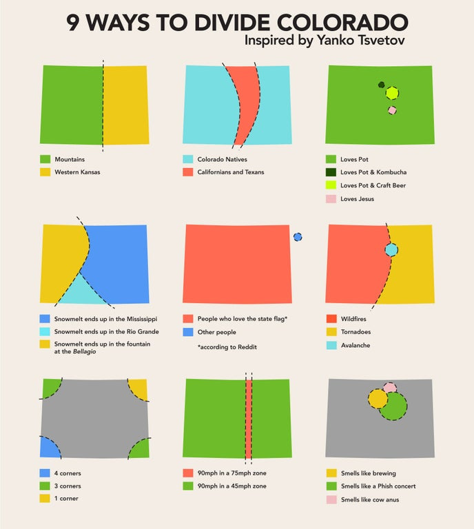
Colorado
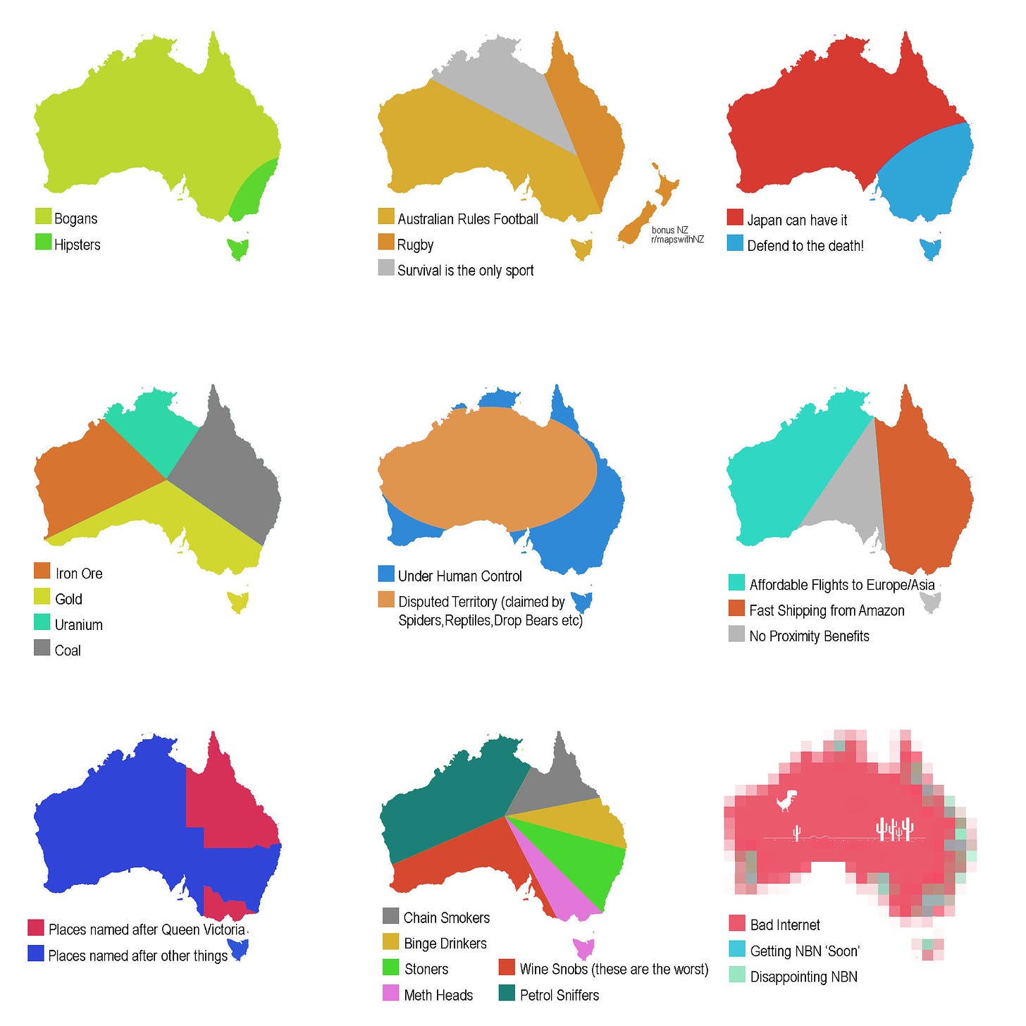
Australia
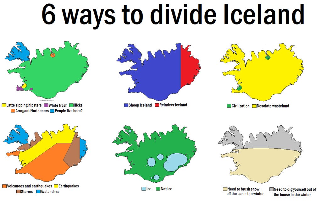
Iceland
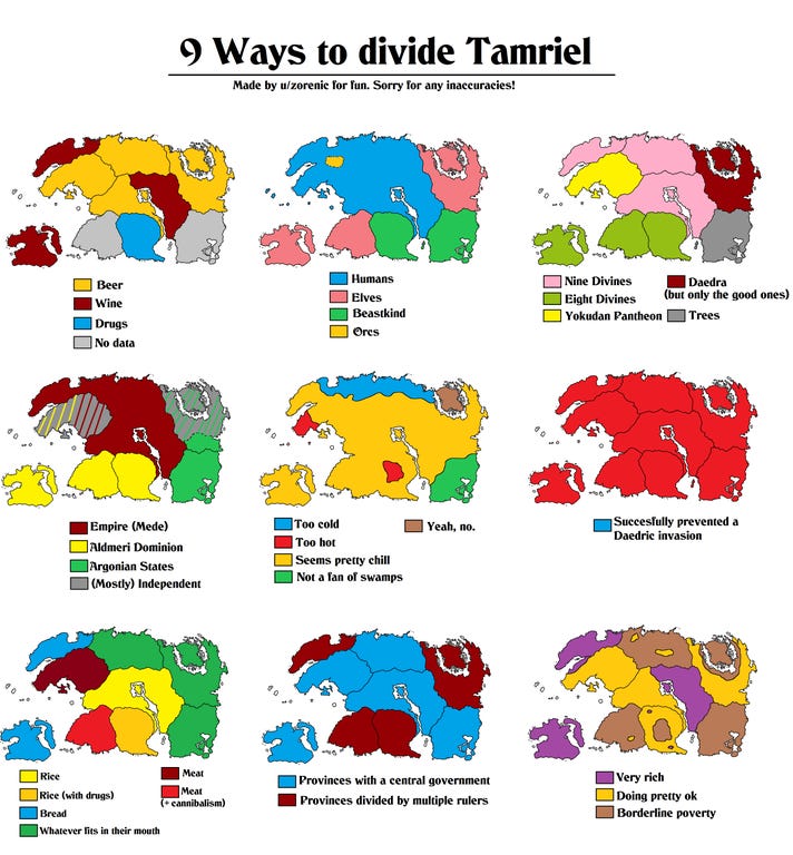
Tamriel (Skyrim)
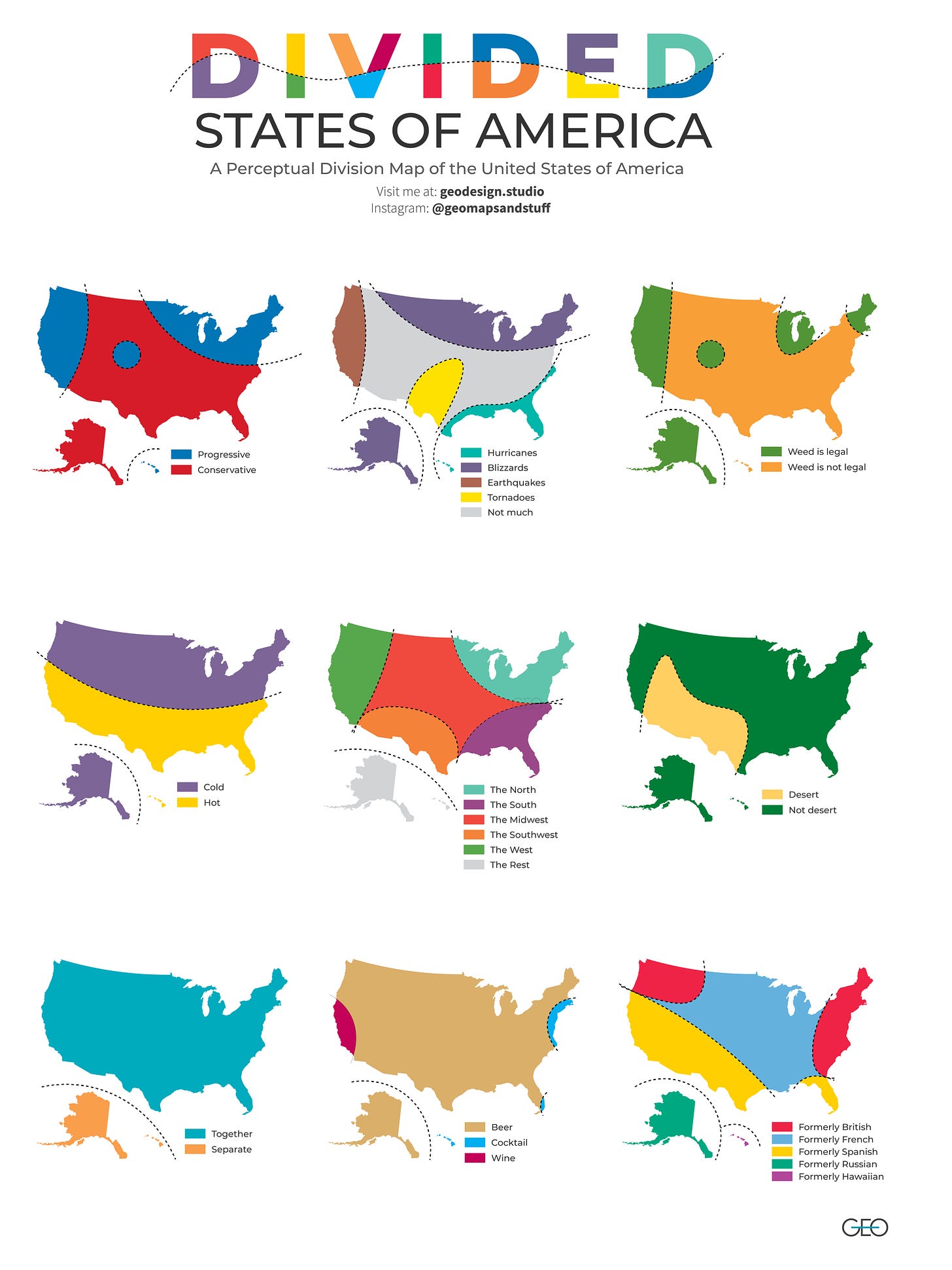
The United States
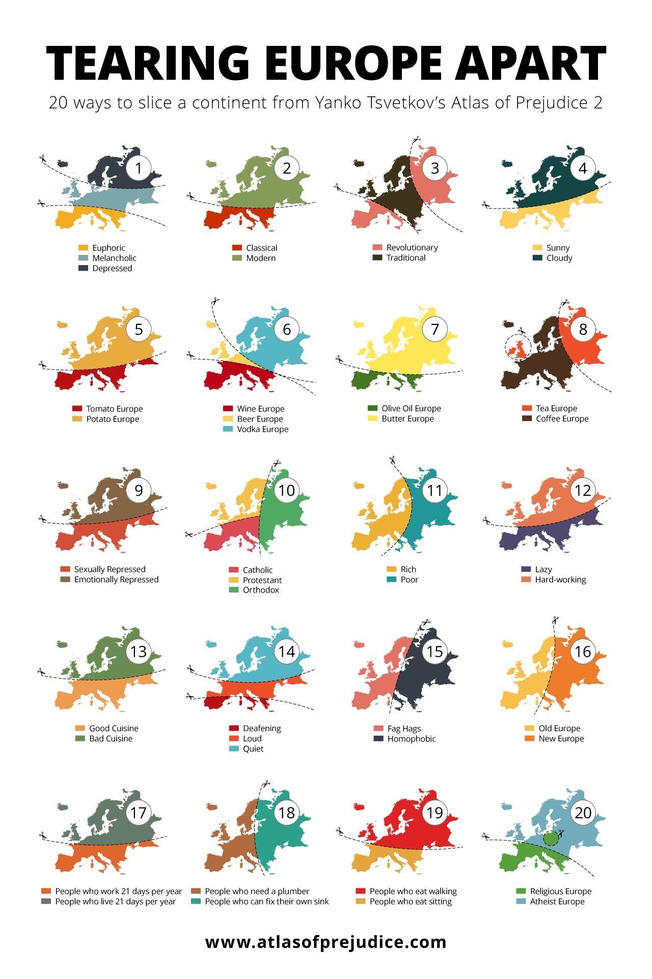
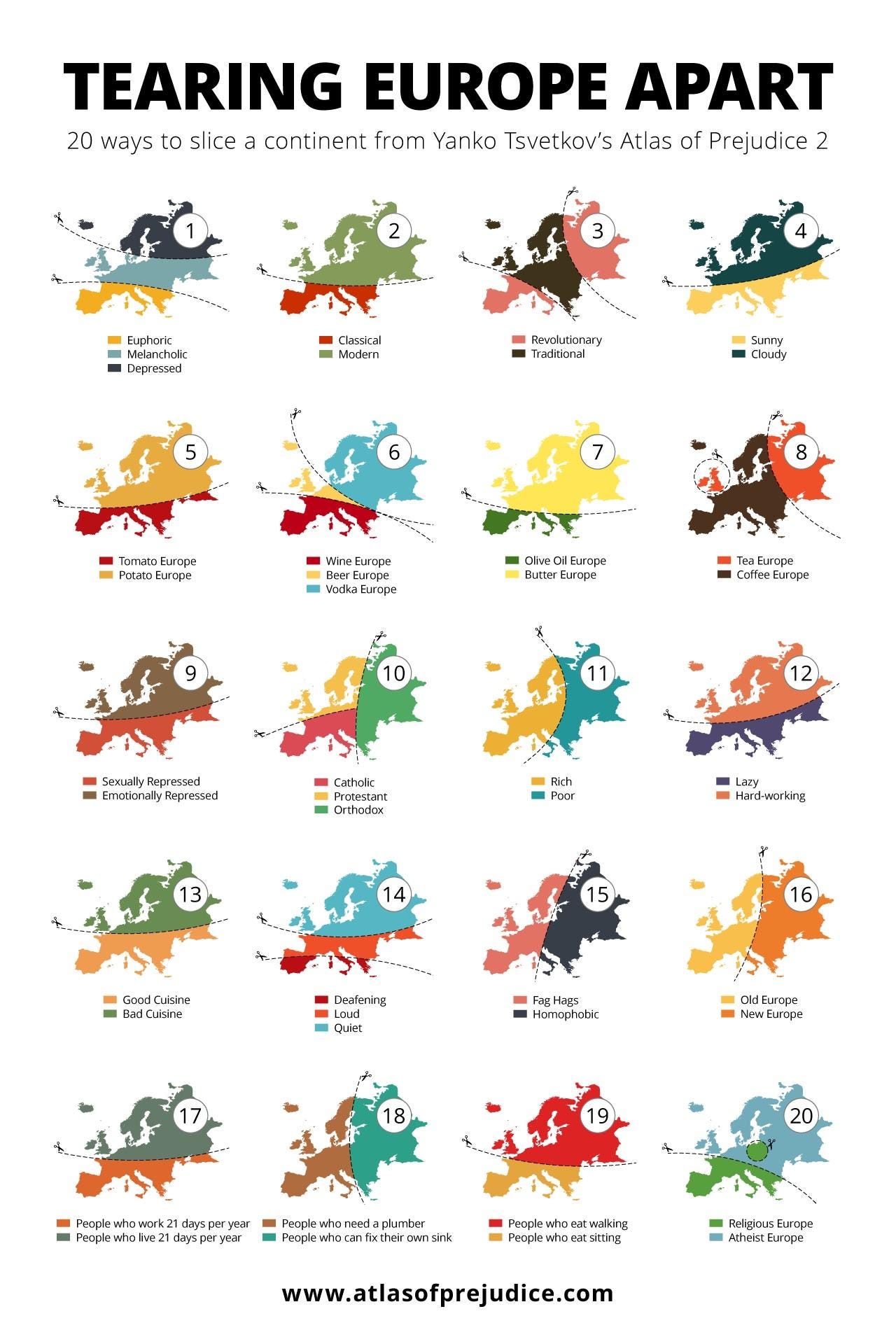
And now let’s chat about them. Personally, I quite enjoy them for what they are: simplistic division maps based on perceptions or stereotypes. Take the header image as an example (no need to scroll all the way back up, it’s right here again):
As far as I can tell Yanko Tsvetkov is the creator of the original “prejudice map” and it’s done in a mostly humorous manner. I’d also wager that, unless you were from Europe yourself, many of these stereotypes would be what you think as well, or near to them. But that’s all they are: stereotypes. There’s nothing actually grounding them in truth.
Often times I’ll find one on being passed around on Twitter or Reddit and I’ll wade through the replies and comments respectively only to find people bickering about how wrong this or that map is. But it goes completely against the point of these maps in the first place. They’re not necessarily supposed to be true, and they’re definitely not supposed to be accurate or precise. Arguing and bickering that one map or another is incorrect would be the same as arguing or bickering that The Onion misconstrued something in one of their articles. Misconstruing is the point! If it was divided in such a manner, it was probably intentional. And not least, they’re mostly supposed to be at least a little offensive. Now some can be horribly racist or sexist and I won’t share any of those here. For this example, #15 on Yanko’s map isn’t something I would be particularly proud of had it been my own. But by and large they are offensive, but in a light-hearted manner.
Once you get out of the mindset of right or wrong, I actually think these kinds of maps can be very informative. Not necessarily of the places they represent, but of what common stereotypes might exist among the population. These maps exist at a high enough level that any author will, most likely, use stereotypes that are broad enough that a larger segment of the population likely believes in them as well. Take the map I made (the Divided States) for example, and in particular the beer/wine/cocktail map. Now this is obviously not true. In fact, if you were to look at an actual map of alcoholic preferences, the entire country would likely be beer. However, from my stand point in Portland, OR. I know the stereotypes of wine lovers in California (hello Napa!) as well as the appeal of a Manhattan/Gin & Tonic in the northeast, and the fruit cocktails on Floridian and Hawaiian beaches and thus you have one prejudice map of alcoholic preferences. If I made a map of just alcohol preferences, it would be much more drab…
Have you ever made a prejudice map? Do you know of any you like? If so I’d love to see them!
By the way, check out Yanko’s other stuff! He’s a funny cartographer.


